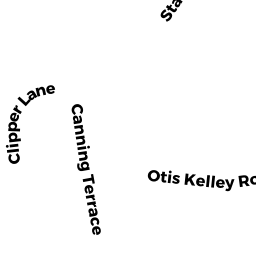
1 CANNING TERRACE DP
Owner Information
TOSTI DEBRA A ET UX
23 CREST ROAD
FRAMINGHAM, MA 01701


Property Details
1 CANNING TERRACE DP is classified as a Single Family Residential (Ranch).
The primary structure on this property was built in 1950. There are 1,032ft2 of built area within this property. There is 1,032ft2 of residential/living space within this property. This property is listed as having 5 rooms.
1 CANNING TERRACE DP is valued at $278,100. The land is valued at $129,400 and the structures are valued at $148,700.
The most recent deed for 1 CANNING TERRACE DP is recorded at the local registrar in Book 4941, Page 9. 1 CANNING TERRACE DP was last sold on Thursday, February 27, 1986 for $114,000.
Assessment data from fiscal year 2022.
Flood Data
This property is completely within the AE Zone (within floodplain).
The base flood elevation for this flood zone is 10 feet.
This information is sourced from the FEMA National Flood Hazard Layer. See our full disclamer.
Broadband Internet Providers
| Provider | Type | Bandwidth (mbps) | |
|---|---|---|---|
| Viasat Inc | Satellite | 35 | 3 |
| Verizon New England Inc. | DSL | 5 | 0 |
| Comcast | Cable | 1000 | 35 |
| GCI Communication Corp. | Satellite | 0 | 0 |
| HughesNet | Satellite | 25 | 3 |
| VSAT Systems, LLC. | Satellite | 2 | 1 |
Broadband service provider data from December 2020.